
Project SHIELD to map climate exposure in Gozo, with implications for investment and insurance
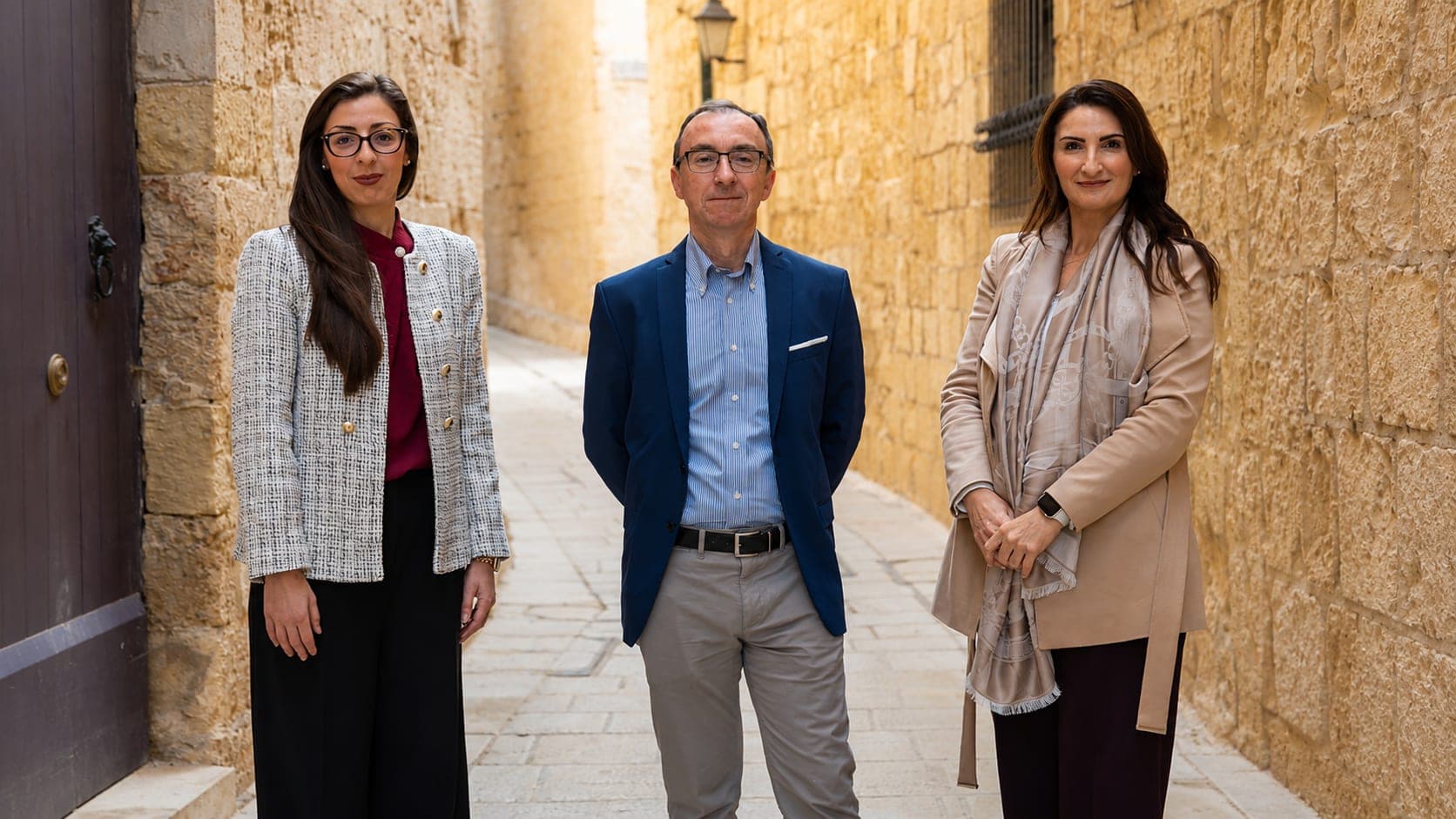
New AI-powered initiative in Marsalforn could reshape how businesses assess climate risk for insurance, investment and tourism.
A new research initiative in Gozo is using artificial intelligence and community input to build a comprehensive picture of climate exposure, with direct implications for how businesses assess risk in Malta's tourism and property sectors.
Project SHIELD, led by researchers Gabriella Borda, Charles Galdies and Charlene Darmanin, focuses on the coastal village of Marsalforn. The initiative combines geospatial analytics, computer vision, and participatory engagement to create an integrated climate exposure framework.
Conventional climate risk assessments in Malta remain fragmented, according to the project team. Hazards, socio-economic factors, and infrastructure conditions are often treated separately. Multi-risk integration is standard in advanced assessments but rarely implemented locally due to a lack of technological frameworks.
Marsalforn was chosen as a pilot site because it reflects many challenges facing Maltese coastal communities. The village has a tourism-driven economy, ageing building stock, and dense coastal development. It is particularly vulnerable to sea-level rise, coastal erosion, and storm surges.
The project will develop an AI-assisted Exposure Heatmap that visualises how physical hazards, building vulnerability, and socio-economic exposure interact spatially. Geospatial AI will analyse satellite imagery and climate projections. Computer vision techniques will analyse street-level building conditions, including typologies and structural issues.
Structure-from-Motion and Multi-View Stereo photogrammetry will reconstruct three-dimensional urban environments from overlapping photographs. This allows researchers to estimate building heights and urban geometry with greater precision, improving flood exposure modelling. Deep learning models will automate the classification of building materials and signs of deterioration.
What distinguishes SHIELD from conventional mapping platforms is its emphasis on socioeconomic vulnerability. The framework incorporates socio-economic indicators into its scoring system, identifying localised hotspots where environmental hazards intersect with economic fragility. In Marsalforn, tourism-related economic exposure is particularly significant.
For financial and policy stakeholders, this integrated perspective is increasingly important. Climate exposure is no longer solely an environmental issue. It is becoming a governance, investment, insurance, and economic resilience issue as well.
Beyond technology, the project places strong emphasis on participatory engagement. Workshops, interviews, and stakeholder feedback sessions will involve residents, business owners, and local authorities. The goal is to validate technical findings with lived experience and produce outputs that are socially relevant and actionable.
While focused on Marsalforn, the project aims to develop methodologies that are scalable to other island and coastal regions facing similar risks.